Cabrillo’s Tidepools: Three Ecological Zones and a Separate Access Window
Cabrillo National Monument’s rocky shore contains high, middle and low intertidal zones. NPS explains how changing exposure shapes the organisms living there. The ecological pattern is a learning subject, while tidepool road access, opening hours and the day’s conditions are separate checks that determine the actual visitor opportunity.
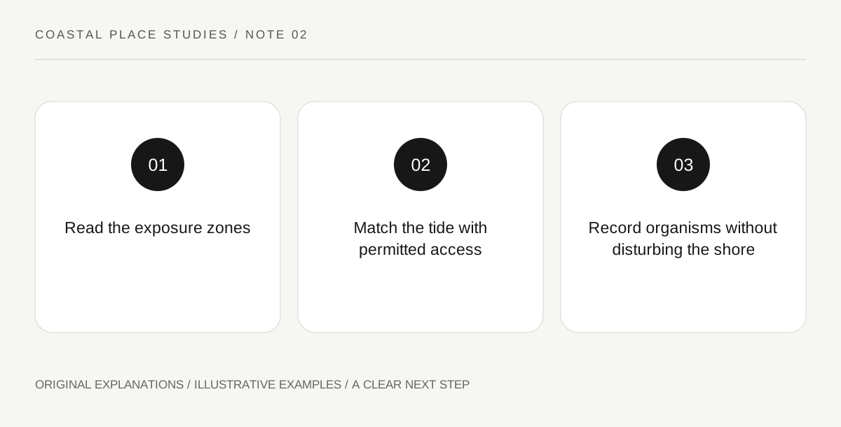
Original explanatory diagram. Read the full method and limitations below.
Read exposure rather than a row of aquariums
A tidepool is part of a rocky intertidal system, not an isolated display designed for visitors. NPS describes a high or splash zone, a middle zone and a lower zone, each with different exposure to air and seawater. Start with that relationship rather than making a list of animals you must find. A high area may experience long intervals without immersion, while lower areas are exposed differently. The useful observation question is how an organism’s position relates to those conditions. A zone diagram can explain the pattern even when the real shore is uneven or partially covered.
Connect an organism with a challenge
The park’s interpretation discusses creatures adapted to changing temperature, salinity, oxygen availability and water exposure. Use its field guide to identify visible organisms cautiously and connect them with a specific environmental challenge. An attached shell-like form may be alive, so appearance is not permission to pry it loose or turn it over. Record what can be observed without rearranging a pool. If identification is uncertain, describe the visible form and consult the guide later. A careful question about attachment or exposure can teach more than confidently assigning the wrong species name to a small photograph.
Find the overlap between tide and visitor access
NPS notes that suitable low tides do not always occur during the park’s visitor hours, and the tidepool area has its own access arrangements. Read the current tide information and official operating guidance together. A low-tide prediction outside opening hours does not create entry permission. Road access can also be managed when parking fills. Keep the learning objective flexible: an interpretation resource or a permitted wider shoreline view can still explain zonation when close observation is unavailable. Do not turn a desire to see the lowest zone into pressure to enter a closed area or extend a visit beyond the actual conditions.
Keep the exit and communications practical
The park’s basic information warns that cellular service is unavailable down by the tidepools and advises arranging a hired-driver pickup in advance. This is a specific logistical difference from many urban attractions. Save the relevant map and meeting details before descending, and read current instructions for the route and departure. The shore also contains slippery, uneven surfaces, so an ecological diagram does not establish personal route suitability. Choose the permitted observation area that fits the actual visit. Your record can distinguish what was learned from the guide, what was visibly observed and which zones remained unvisited.
Illustrative zone notebook
A fictional visitor draws three horizontal bands labelled by exposure and adds only organisms confidently identified from the park guide. A blank low-zone row says “not observed during this visit” rather than “no animals present.” The pickup point and time are saved separately before entering the low-service area. The example gives no tide prediction, species guarantee or instruction to move toward a lower zone.
Practical checks
Optional checkboxes save only in this browser.
Questions that come up
Does every low tide allow a tidepool visit?
No. The tide must overlap with current visitor access, and local conditions and park directions still apply.
Does an empty notebook row mean the zone had no wildlife?
No. It may mean you did not observe that zone or could not identify what was visible. Preserve the limit of the observation.
References and scope
These sources support the factual background. Examples and exercises are original illustrative teaching material. References do not imply endorsement.
- NPS: Cabrillo basic information — Tidepool road management, parking limits and absent cellular service in the lower area.
- NPS: Cabrillo rocky intertidal — High, middle and low intertidal zones and exposure-related ecology; no species or access guarantee.