Canaveral: Apollo and Playalinda Have Different Road Approaches
Canaveral National Seashore has northern access at Apollo Beach and southern access at Playalinda. NPS directions place them through different surrounding towns, and the park’s compendium closes the connecting Sand Road to public motor and foot traffic. Choose the actual entrance before navigation rather than assuming one continuous visitor drive through the seashore.
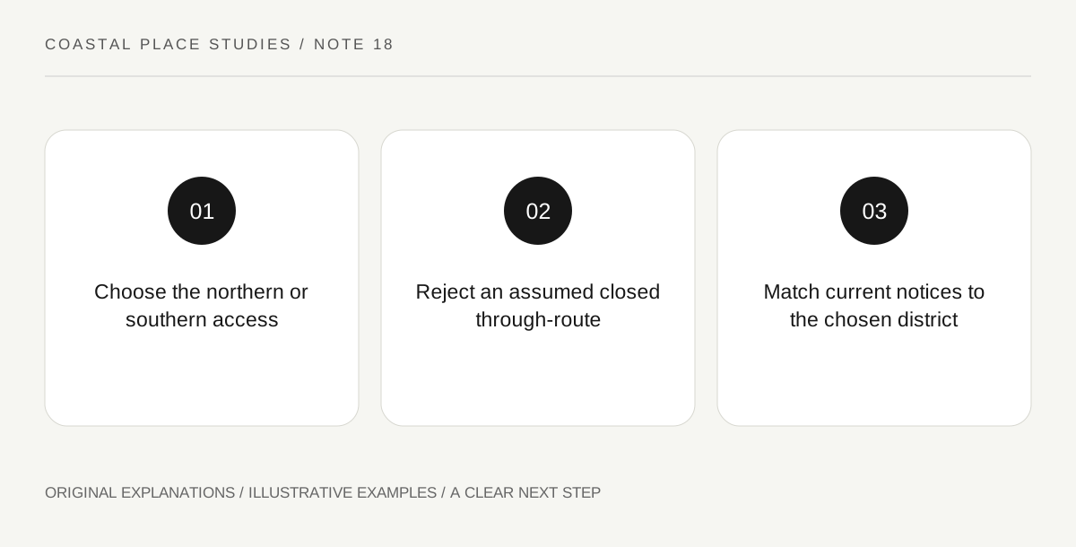
Original explanatory diagram. Read the full method and limitations below.
Identify north and south by their full names
NPS identifies Apollo Beach as the northern seashore access through the New Smyrna Beach side and Playalinda as the southern access through Titusville. The park name alone is therefore an incomplete destination. Save the intended entrance and the specific facility or beach area separately. A visitor centre address can point to one district while a photograph or planned activity belongs to another. Use the official map to align those pieces before leaving. This is a geographical check, not a recommendation that one entrance is universally better for every visitor or every date.
Do not invent a through-route
The park’s compendium identifies the Sand Road between the Apollo and Playalinda paved-road areas as closed to public motorised traffic and foot traffic. A line appearing on a map does not establish a lawful visitor connection. Preserve the current closure in the plan and read any official update before travel. Do not follow a navigation suggestion, visible track or another person around a barrier. The practical implication is that a visit to both districts requires a separately verified legal transport plan outside any closed connection. This article deliberately does not supply a workaround route through protected or restricted land.
Keep Seminole Rest as another destination
NPS directions also list Seminole Rest in Oak Hill with its own address. This illustrates how a national-seashore itinerary can contain places that are thematically related without sharing one entrance road. If that site is part of the plan, read its current visitor information separately and identify the subject you intend to study there. Do not assume that arriving at Apollo or Playalinda places every other seashore feature within a short walk. A clear itinerary can focus on one district while acknowledging that the wider park contains other places, rather than treating all listed destinations as mandatory stops.
Use current district notices for the actual day
After the location is clear, check current park alerts, facility hours and any date-specific restrictions for that district. A general map does not establish current parking availability, beach access or water conditions. If a closure changes the intended visit, reconsider the named destination and travel requirements together. Moving to the other entrance is a real change of location, not simply choosing the next parking bay along one continuous visitor road. Keep any historical or ecological learning objective linked to the area actually visited. That final consistency check prevents an accurate source about one district from being used to describe a different outing.
Illustrative entrance audit
A fictional itinerary lists the Apollo Visitor Center address but a planned stop on the Playalinda side. The traveller notices the mismatch on the official map and selects one district. A suggested Sand Road connection is removed because the current compendium closes it to public use. The example gives no closure workaround, driving itinerary, parking guarantee or statement about suitable ocean entry on a future date.
Practical checks
Optional checkboxes save only in this browser.
Questions that come up
Can I drive through the park from Apollo to Playalinda?
Do not assume a public through-route. The NPS compendium closes the connecting Sand Road to public motorised and foot traffic; use current official directions.
Is Seminole Rest reached through the same entrance?
NPS lists a separate Oak Hill address. Treat it as its own destination and check its current visitor information independently.
References and scope
These sources support the factual background. Examples and exercises are original illustrative teaching material. References do not imply endorsement.
- NPS: Canaveral directions — Apollo Beach northern access through New Smyrna Beach, Playalinda southern access through Titusville and separate Seminole Rest.
- NPS: Canaveral compendium — The connecting Sand Road is closed to public motorised and foot traffic; current official notices govern the actual visit.