Cape Perpetua: Forest, Ocean and Human History Meet in One Landscape
Cape Perpetua’s interpretation connects temperate rainforest with a rocky Pacific shore and a long human history. The Forest Service identifies Alsea connections and later Civilian Conservation Corps work. Read those layers together rather than reducing the scenic area to one dramatic water feature or assuming its entire trail network belongs in a single visit.
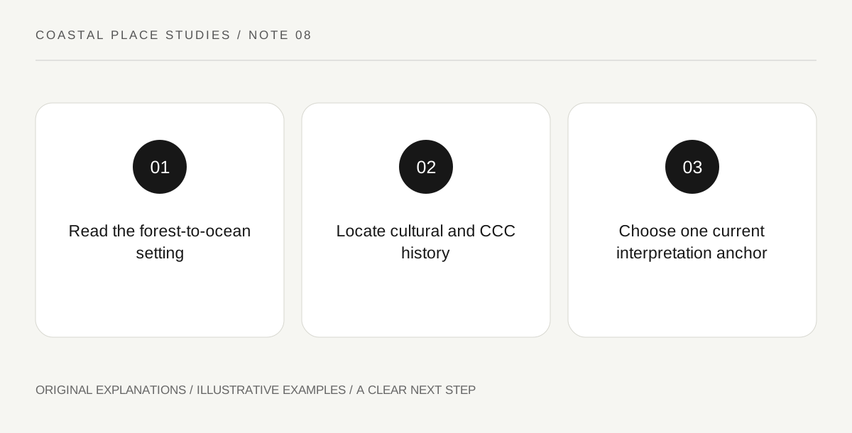
Original explanatory diagram. Read the full method and limitations below.
Begin with the forest-to-ocean relationship
The Forest Service describes Cape Perpetua as coastal habitat where temperate rainforest meets the Pacific. A useful visit starts with that transition. Look at the difference between sheltered forest structure and the exposed shore through a current permitted viewpoint, exhibit or suitable public route. The ecological question concerns connection, not merely contrast: landform, moisture and exposure influence the setting. Do not assume every plant seen is old-growth forest evidence or identify a species without support. A broad view and an interpretation panel can establish the relationship without a long trek or a close approach to energetic water.
Keep Halaqaik and Alsea history visible
The official account describes evidence of a long human presence and identifies the Alsea name Halaqaik. It also explains the later name associated with James Cook. These names belong to different historical perspectives and should not be treated as interchangeable labels without context. Read how the available interpretation presents the people who lived in and used the place. Archaeological traces are not souvenirs or invitations to investigate beyond the public route. If a question concerns cultural meaning rather than a basic date, seek the relevant community-informed explanation instead of inventing an answer from a landscape photograph.
Connect the visitor setting with CCC work
The Forest Service links trails and the visitor-centre area with Civilian Conservation Corps activity during the Great Depression. That creates another layer between earlier cultural history and modern recreation. A path or building-related setting can therefore have a history of public work as well as a present visitor function. Use interpretation to identify particular features rather than assuming every trail was built by the CCC. A short timeline can keep the different periods legible. The point is to recognise successive use and stewardship without presenting the modern visitor landscape as untouched nature or erasing the people who shaped it.
Choose an interpretation anchor before adding movement
The scenic-area information identifies the visitor centre and other day-use locations, but their current operation should be checked independently. A regional trail total is not a recommendation to attempt the whole network. Choose one learning anchor, such as an exhibit or authorised viewpoint, and add only the route that fits the actual conditions and individual needs. This article does not prescribe a shore scramble or access to a named water feature. The central subject is the relationship among forest, coast and human history, which can be explored through several appropriately chosen forms of interpretation. A current map helps keep those options distinct.
Illustrative three-layer timeline
A hypothetical visitor makes a timeline for Alsea cultural history, later naming and CCC work, using the Forest Service’s account as a starting source. A second sketch shows forest and shore in one landscape. Unverified details remain questions for the interpretation centre. The example does not claim a personal tour, an open building on a future date or access to a specific water feature.
Practical checks
Optional checkboxes save only in this browser.
Questions that come up
Is Cape Perpetua only a shoreline viewpoint?
No. The Forest Service describes coastal forest, interpretation and several historical layers as parts of the scenic area.
Does a large trail network mean I should plan a long hike?
No. Choose a current permitted route or interpretation visit that answers your question and fits the actual visitors and conditions.
References and scope
These sources support the factual background. Examples and exercises are original illustrative teaching material. References do not imply endorsement.
- US Forest Service: Cape Perpetua — Temperate rainforest and rocky shore, Alsea/Halaqaik history, CCC connections and interpretation; current operation requires a separate check.