Dungeness Spit: A Refuge Landscape Before It Is a Lighthouse Walk
Dungeness National Wildlife Refuge shelters a bay, tideflats and other habitats behind a long sand spit. The Fish and Wildlife Service distinguishes a forest overlook from the much longer journey toward the lighthouse. Read the refuge map and purpose first so a distant landmark does not obscure protected areas or the value of a shorter observation.
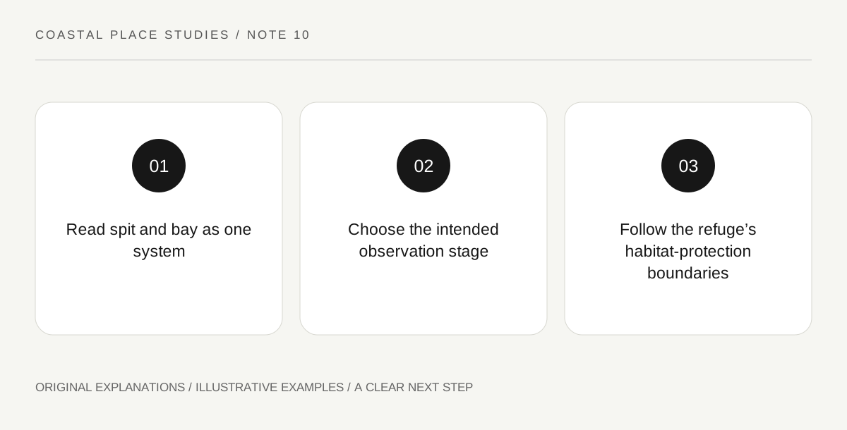
Original explanatory diagram. Read the full method and limitations below.
Read the spit and sheltered bay together
The refuge’s official description explains that the curved spit protects a bay rich in marine life. The landform therefore matters for what it shelters as well as for its length. Begin with a map showing the exposed side, the quieter bay and the surrounding habitats. A narrow strip of land can create very different conditions on its two sides. This is a useful coastal-geography question that does not require reaching the far end. An authorised overlook can show the relationship while allowing a visitor to keep the observation focused on the landform and the water it protects.
Connect habitats with different wildlife uses
The Fish and Wildlife Service describes tideflats used by shorebirds, eelgrass beds important to marine life and areas used by seals. These are habitat relationships rather than a list of animals guaranteed on a visit. Ask what a visible area provides: feeding, shelter or a place to rest. Use the refuge’s interpretation and wildlife checklist for identification and seasonal context. If no animal is seen, the habitat question remains valid. Do not move into a closed area to complete a checklist or assume a resting animal is available for a closer portrait because it is not moving.
Keep the overlook and lighthouse outing distinct
The official activities page describes a forest route to a bluff overlook, then a descent and a long spit walk toward the lighthouse. Those stages have different physical demands and exposure. A sign for the lighthouse does not mean it is a short continuation of the overlook visit. Read the current distance, tide and condition guidance for any intended extended walk, and choose the actual route according to the visitors. This article does not prescribe that long outing. A shorter view can be a complete refuge visit when its purpose is to understand the protected coastal landscape.
Use the refuge’s access map rather than empty-looking sand
The refuge explains that some portions are closed seasonally or permanently to protect sensitive species. An open-looking beach is therefore not proof of public access. Read the current map and activity rules before beginning, and follow marked boundaries. A national wildlife refuge can manage recreation differently from a general beach park. Keep any separately organised lighthouse visit or boat landing subject to its own current requirements. Your observation record can identify the permitted place, the habitat studied and the limits of the view, without claiming that every part of the spit has been explored.
Illustrative overlook study
A fictional visitor chooses the authorised overlook rather than the distant lighthouse as the day’s objective. The notebook sketches the spit’s protective curve and labels the bay and exposed side using the official map. One wildlife observation is recorded separately from the habitat explanation. The example gives no extended-walk timing, boat permission or promise that particular species will appear during a future visit.
Practical checks
Optional checkboxes save only in this browser.
Questions that come up
Is the lighthouse a short extension of the forest overlook?
The official page describes a much longer spit outing beyond the overlook and descent. Read the full route information rather than inferring distance from a landmark sign.
Can I use any empty section of beach?
No. Refuge areas can be closed for wildlife protection even when they appear unoccupied. Follow the current map and posted boundaries.
References and scope
These sources support the factual background. Examples and exercises are original illustrative teaching material. References do not imply endorsement.
- USFWS: Dungeness refuge — The spit’s sheltering role, bay, tideflats, eelgrass habitats, wildlife and refuge access protections.
- USFWS: Dungeness activities — Forest overlook versus the longer spit outing, designated routes, closed areas and wildlife interpretation.