Devils Punchbowl, Oregon: Read the Formation from a Permitted View
Devils Punchbowl’s hollow rock formation is shaped by an energetic shore. Oregon Parks describes likely collapsed sea caves, churning water and neighbouring beach uses. A good visit studies the landform from an authorised position and treats erosion, current access and local parking as real conditions rather than forcing an interior photograph.
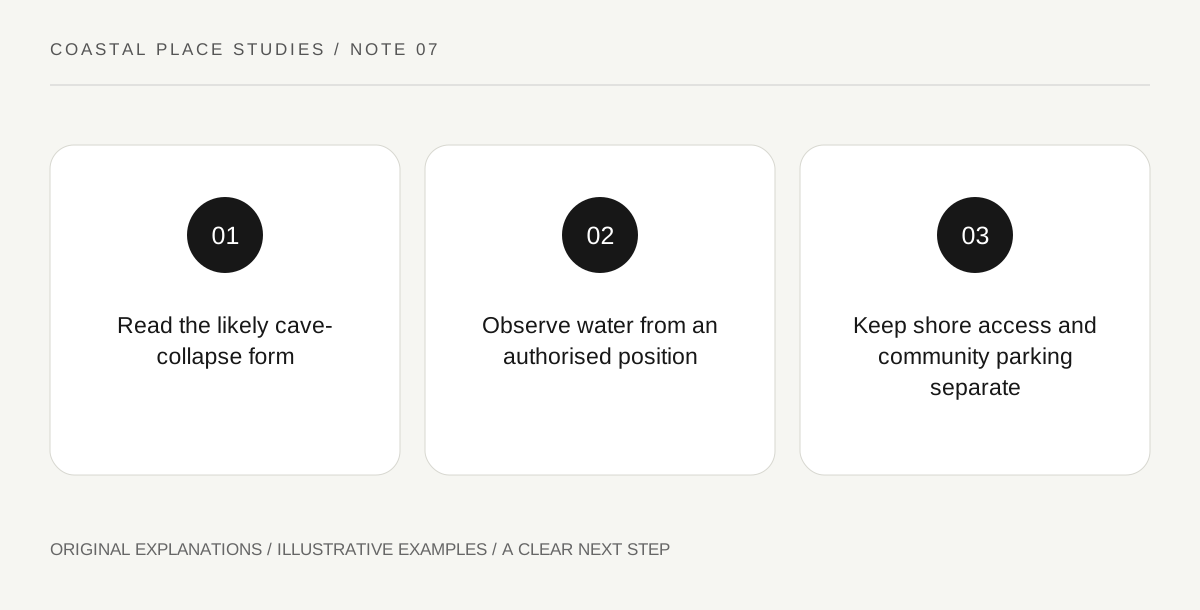
Original explanatory diagram. Read the full method and limitations below.
Read the cave-collapse explanation carefully
The state fact sheet describes the punchbowl as likely formed through the collapse of sea caves. The word likely is part of the explanation and should remain in a visitor’s account. A broad geological interpretation is not a precise reconstruction of every collapse event. From a permitted viewpoint, identify the opening, remaining walls and the relationship with the sea. A simple cross-section can explain how a roofed cavity and a later open depression differ, but label the drawing as conceptual. Do not present it as a surveyed diagram or assign an exact formation date that the source does not supply.
Connect the visible water with an active shore
The official description emphasises water entering, churning and striking the remaining rock. That motion is part of the attraction and a reminder that the feature is not an enclosed pool with stable visitor conditions. A low-water photograph from another date cannot establish today’s access. This article does not provide directions into the bowl. Follow current park signs, barriers and local guidance and choose a permitted view that fits the conditions. An observation of wave movement from an appropriate position can answer the geological question without requiring the observer to stand inside the formation.
Separate the punchbowl from neighbouring shore areas
Oregon Parks distinguishes the rock formation, the southern beach used by surfers and the northern marine-garden area. These are related coastal settings with different purposes and access. Do not treat a broad park name as permission for one continuous route between all of them. The fact sheet also identifies erosion and landslide pressures on access areas. As a historical management document, it explains why access needs attention; it does not prove the current condition of a particular path. Read current official information for the actual visitor area and keep any lower-shore activity a separately assessed decision.
Recognise the community around the viewpoint
The state account places the park within the small Otter Crest community and describes parking pressures. A scenic stop still uses ordinary roads and shared space. Choose legal current parking, keep driveways and circulation clear and avoid converting a full lot into an informal roadside solution. Once at a permitted view, concentrate on one observation: the rock opening, the changing water level or the contrast between exposed and submerged surfaces. The visit can be short and specific. Its quality does not depend on reaching every shore area or reproducing a photograph taken under another combination of tide and swell.
Illustrative viewpoint record
A fictional visitor sketches the rim and opening from a permitted viewpoint, then notes how successive waves change the visible water. The notebook labels the cave-collapse explanation as the state’s interpretation and the sketch as illustrative. A desired lower-shore stop is omitted when current access is uncertain. The example gives no route into the bowl, tide window or promise that a particular path remains open.
Practical checks
Optional checkboxes save only in this browser.
Questions that come up
Does a low-tide photo establish an interior route?
No. It records another moment and may omit access hazards or restrictions. Use current official guidance and permitted viewing arrangements.
Is the state fact sheet a live trail report?
No. It explains the place and management issues. Current route conditions and closures need the responsible authority’s latest information.
References and scope
These sources support the factual background. Examples and exercises are original illustrative teaching material. References do not imply endorsement.
- Oregon Parks: Devils Punchbowl fact sheet — Likely collapsed sea caves, energetic water, neighbouring shore uses, erosion and crowding; historical fact sheet, not live access status.