Ebey’s Landing: A Protected Working Landscape Has Many Landowners
Ebey’s Landing National Historical Reserve on Whidbey Island protects a living rural community, including agricultural and coastal landscapes. NPS explains that ownership is a patchwork and most land remains private. Read the reserve as a partnership rather than assuming its boundary makes every field, road or historic building public visitor space.
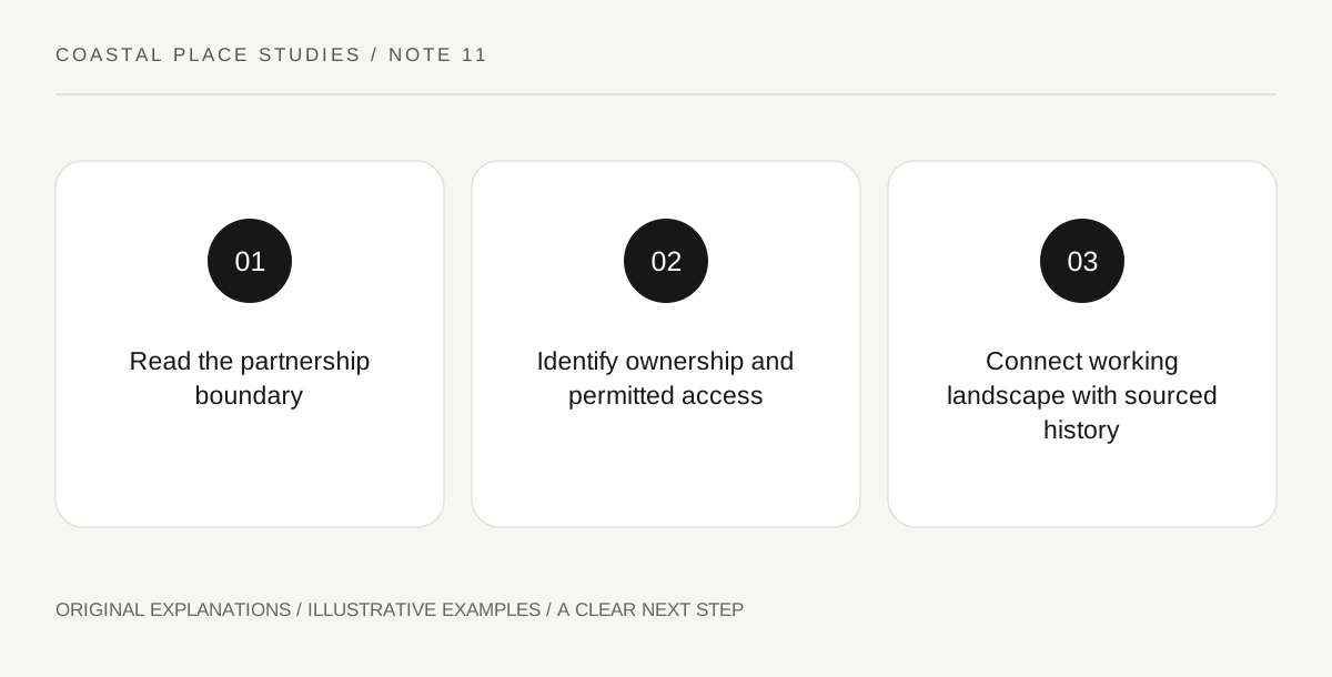
Original explanatory diagram. Read the full method and limitations below.
Understand the reserve model
NPS describes a collaboration involving federal, state, town and county partners alongside private owners. That structure differs from imagining one continuous block managed entirely by a single agency. The reserve boundary identifies a protected landscape with nationally significant resources, while individual places retain their own ownership and functions. Start by locating the actual public destination on the current reserve map. A broad label such as Ebey’s Landing can refer to the reserve, a state-park area or a specific coastal approach. Use the precise place name when checking access, parking and the subject of a proposed visit.
Separate scenic protection from public entry
The NPS FAQ explains scenic easements as agreements that protect landscape values through restrictions attached to property. Such protection does not automatically create a visitor route across the land. A field can remain an active private workplace even when it contributes strongly to the protected view. Observe from designated public places and keep gates, farm access and crops clear. Do not use an aerial map, a visible track or an attractive barn as evidence of permission. If a particular activity requires landowner or manager approval, identify the actual responsible party rather than treating the reserve’s national designation as a universal authorisation.
Read farming, town and coast together
The reserve’s purpose includes a working rural community and historical traditions connected with Native and Euro-American life. Agriculture, Coupeville and the surrounding coast form related parts of that story. Choose a question about how settlement and work connect with the landscape, then use interpretation for the historical evidence. A barn or field visible from a public route is not enough to reconstruct an individual family’s experience. Keep community history broader than a single picturesque building. The value of the view includes continuing use and stewardship, so modern work should not be treated as an intrusion into a supposedly empty historic scene.
Choose the relevant manager for the actual visit
The NPS guidance identifies different rules and arrangements across the reserve’s partner lands. A state-park stop, historic-house opportunity and town museum can therefore require separate checks. The reserve also offers virtual interpretation for the Ferry House, illustrating that learning does not always depend on interior access. Verify current programmes and opening conditions rather than assuming a national visitor centre exists at every reserve entrance. A complete visit can be a public landscape view paired with reliable interpretation. Record what was actually visited and leave privately occupied or closed places as part of the acknowledged wider setting.
Illustrative ownership map
A fictional visitor marks a state-park public area, a private working field and a historic-house interpretation resource in different colours. The protected reserve boundary surrounds them without erasing their differences. The chosen visit uses only confirmed public access and a current learning resource. This exercise is illustrative; it does not grant permission for a field crossing, private event, drone flight or building entry.
Practical checks
Optional checkboxes save only in this browser.
Questions that come up
Does the reserve boundary make all land public?
No. NPS explains that most land is privately owned and protection relies on several mechanisms. Use designated public access and respect individual boundaries.
Does a scenic easement create a walking trail?
Not automatically. It protects specified landscape values. Public passage must be established through the actual access information, not inferred from the easement’s existence.
References and scope
These sources support the factual background. Examples and exercises are original illustrative teaching material. References do not imply endorsement.
- NPS: Ebeys Landing — A working rural community, Native and Euro-American histories, partner lands and Ferry House interpretation.
- NPS: Ebeys Landing FAQ — Patchwork ownership, private working fields and scenic easements; protection does not create universal public access.