Gulf Islands: Naval Live Oaks and Fort Pickens Are Different Coastal Settings
Gulf Islands National Seashore includes wooded mainland and barrier-island places as well as historic defences. NPS distinguishes Naval Live Oaks from the Fort Pickens area. Choose the setting and subject first, then verify the specific facilities, because a headquarters address and a visitor-service destination do not necessarily serve the same purpose.
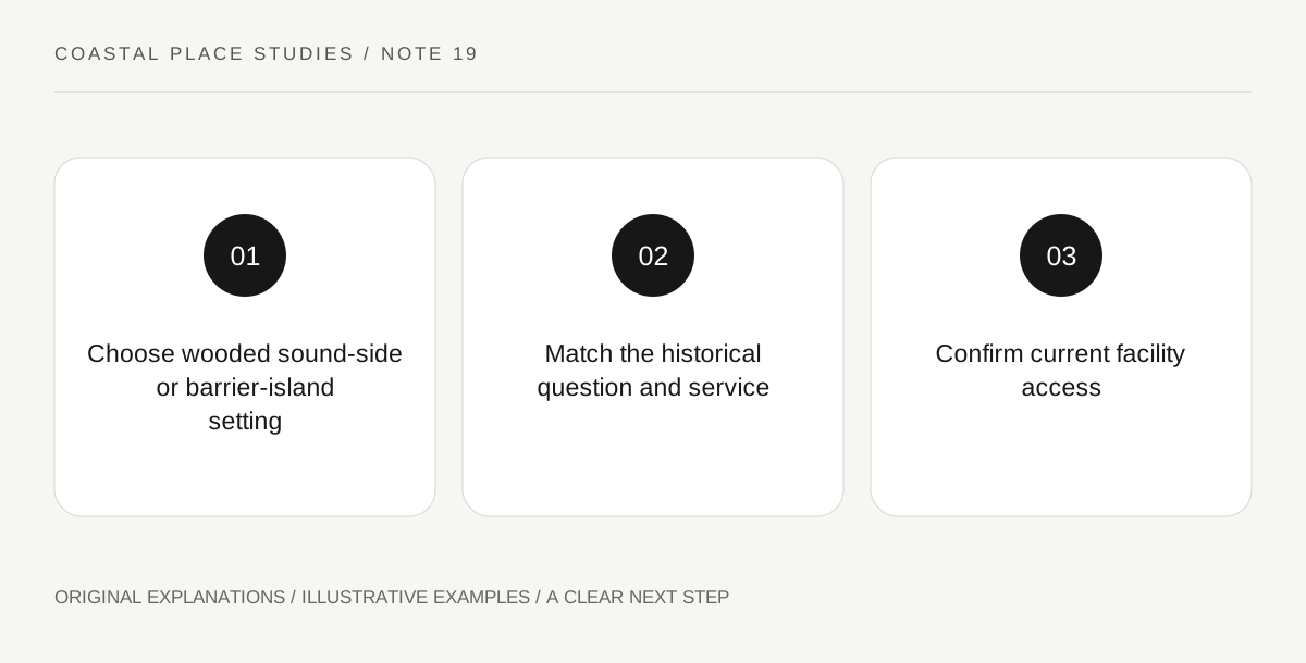
Original explanatory diagram. Read the full method and limitations below.
Read the park as several places
The Gulf Islands name spans multiple areas rather than one compact coastal enclosure. For this comparison, Naval Live Oaks lies in a wooded, sound-side setting near Gulf Breeze, while Fort Pickens occupies a different area on Santa Rosa Island. Use the official area maps to see that distinction before choosing navigation. A mailing or headquarters address may be useful for administration without being the entrance to the historic fort. Keep the intended learning subject attached to the location: woodland and naval-resource history raise different questions from a barrier-island fort and its defensive landscape.
Choose Naval Live Oaks for its actual setting
NPS describes Naval Live Oaks as one of the park’s most wooded areas, with trails, picnic facilities and access to views of Santa Rosa Sound and Pensacola Bay. That is a specific experience, not a substitute label for the exposed Gulf beach. A visitor can focus on the relationship between woodland and shoreline through current interpretation and a permitted public area. Do not infer water conditions from the word sound or treat every nearby sandy edge as an authorised activity area. Read the area’s current rules and facilities. The official page also distinguishes administrative functions from particular visitor services.
Choose Fort Pickens for the fort-and-island relationship
The Fort Pickens area map identifies the fort, batteries, beaches and visitor-related facilities within a barrier-island setting. A focused historical visit can ask how a defensive site relates to the bay and Gulf sides of the island. Read the current interpretation for individual structures and the park’s current rules for interior access. The seashore compendium makes fort and battery interiors dependent on official opening arrangements. An area map is not proof that every room or visitor building is open today. Keep an exterior landscape study and a staffed interior visit as separate possibilities rather than promising both from a single park description.
Locate the service you actually need
The Naval Live Oaks information directs certain visitor services, including pass purchasing and passport stamping, to Fort Pickens. Recheck the current arrangement before making a trip mainly for a service. A headquarters building does not automatically function as a full public visitor centre, and older pages can retain facility descriptions after operations change. If the purpose is a programme, exhibition or administrative enquiry, identify the responsible place and its current availability directly. A coherent day may use only one area. The important result is that the setting, subject and service all refer to the same actual destination instead of being assembled from unrelated park pages.
Illustrative purpose-to-place match
A fictional visitor has two aims: studying a historic fort and obtaining a park stamp. The visitor checks the current Fort Pickens arrangements rather than driving automatically to the headquarters address. A separate woodland picnic idea remains attached to Naval Live Oaks and its own rules. The example provides no opening guarantee, water-safety assessment or promise that a particular fort interior or service will be available.
Practical checks
Optional checkboxes save only in this browser.
Questions that come up
Is the headquarters address automatically the best visitor arrival?
No. Match the service and activity to the actual area. NPS directs some services from Naval Live Oaks to Fort Pickens.
Does a fort symbol on a park map prove interior access?
No. Current opening arrangements, staff, gates and signs determine access. A map identifies the structure rather than guaranteeing entry.
References and scope
These sources support the factual background. Examples and exercises are original illustrative teaching material. References do not imply endorsement.
- NPS: Naval Live Oaks area — Wooded sound-side area, administrative headquarters and visitor-service distinctions; some services are directed to Fort Pickens.
- NPS: Fort Pickens area map — Fort Pickens area map identifies the fort, batteries, beaches and facilities; it does not prove current interior opening.
- NPS: Gulf Islands compendium — Fort and battery interiors depend on official opening arrangements; operational areas remain separate from public space.