Padre Island National Seashore: Malaquite Is Not South Padre Island
Padre Island National Seashore’s Malaquite Visitor Center is approached from the Corpus Christi side. NPS also explains that Mansfield Channel separates Padre Island from South Padre Island with no vehicle crossing. Resolve that geography before planning a visit so two familiar island names do not produce an impossible direct connection.
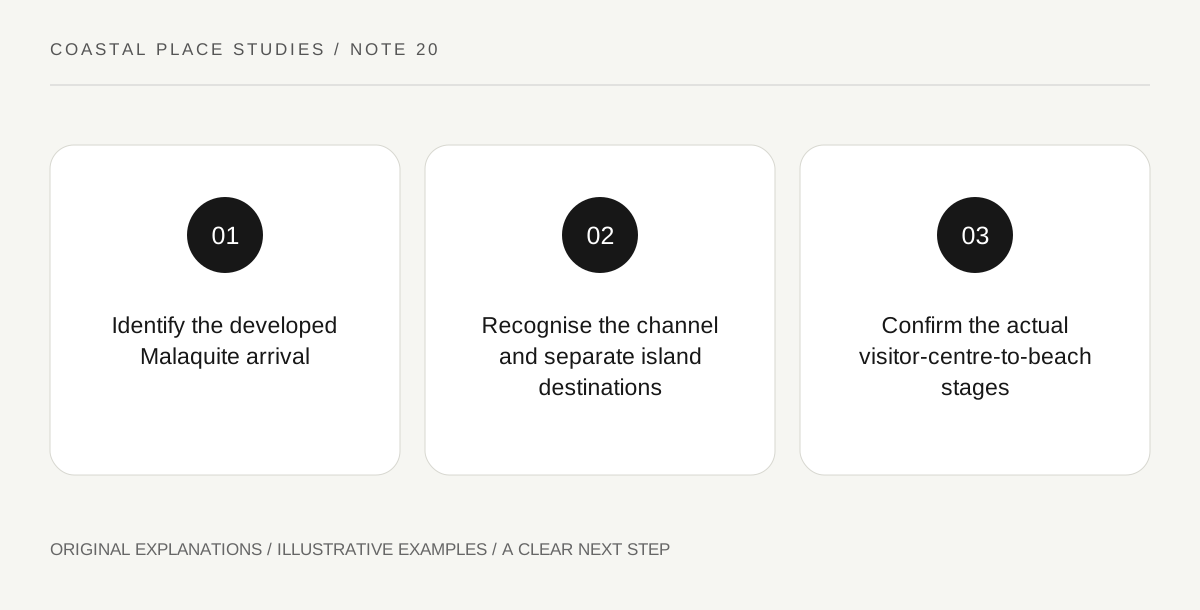
Original explanatory diagram. Read the full method and limitations below.
Use the national seashore’s actual arrival point
NPS lists Malaquite Visitor Center on Park Road 22 with a Corpus Christi address and describes the approach through the JFK Causeway. That is the relevant starting point for a developed visitor-centre visit. Do not substitute a hotel or attraction address on South Padre Island because both appear under a shortened Padre search. Save the full park name, visitor-centre name and official approach. A precise arrival point also helps distinguish the developed Malaquite area from remote places elsewhere within the national seashore, which can have very different access and preparation requirements.
Read the channel as a real break
NPS identifies Mansfield Channel as the national seashore’s southern boundary and explains that it divides the island. It explicitly states that there is no possible vehicle crossing between Padre Island and South Padre Island there. That is a geographical constraint, not a missing bridge that a visitor can solve by continuing along sand. A line of coastline on a small-scale map can conceal the break. Keep the two destinations separate and use appropriate current road directions if comparing wider regional travel. This article does not provide a remote beach-driving route or instructions for approaching the channel.
Give Malaquite a complete learning purpose
The visitor-centre description identifies exhibits on park history, plants and animals, alongside an information desk and a deck area. Those resources can support a focused question about how the barrier-island environment is interpreted. Choose a theme in the actual current displays rather than promising a particular ranger programme from a general description. The developed visit is not an incomplete version of travelling farther down the island. It can be a complete introduction to the park when the goal is to understand the landscape, read its interpretation and observe the permitted nearby shore under the day’s actual arrangements.
Assess the actual deck-to-beach route
NPS describes a ramp from the visitor-centre deck to Malaquite Beach and an option to borrow a beach wheelchair. These are useful specific features, but availability and individual suitability need current confirmation. A ramp does not turn every stretch of sand into an identical route, and a facility description does not reserve equipment. Ask about the exact stage and assistance needed, including return to the deck. Check current opening and shore notices independently. The final plan should state whether it includes exhibits, a deck view or beach access, rather than treating all three as automatically suitable because they share the same visitor-centre address.
Illustrative name-and-route check
A fictional traveller initially combines a South Padre accommodation pin with a Malaquite visit and assumes a direct coastal vehicle connection. The NPS map and channel description correct that assumption before any route is chosen. The visitor then checks the developed Malaquite facilities and equipment availability for the intended day. The example offers no remote driving instructions, travel-time promise or certification of a complete accessible beach route.
Practical checks
Optional checkboxes save only in this browser.
Questions that come up
Can I drive directly across Mansfield Channel?
NPS explicitly states that no vehicle crossing is possible there. Do not treat the continuous-looking coastline as a public through-route.
Does a beach-wheelchair description reserve one for me?
No. Confirm the current availability and the actual route requirements with the park. A listed facility is not a personal reservation or suitability assessment.
References and scope
These sources support the factual background. Examples and exercises are original illustrative teaching material. References do not imply endorsement.
- NPS: Malaquite Visitor Center — Corpus Christi approach, exhibits, deck, beach ramp and beach-wheelchair arrangements; availability requires confirmation.
- NPS: Mansfield Channel — Mansfield Channel separates Padre Island and South Padre Island, with no vehicle crossing; no remote driving route is provided.