Pictured Rocks: Mineral Colours and Viewing Position Are Separate Questions
Pictured Rocks National Lakeshore is named for mineral staining on sandstone cliffs along Lake Superior. NPS explains how groundwater contributes colour and why views differ from land and water. Choose the geological question and viewing position together, while keeping boat operation, route demands and current access separate from the attraction’s name.
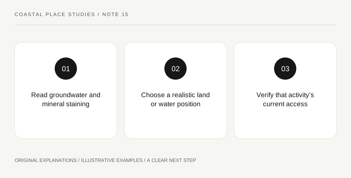
Original explanatory diagram. Read the full method and limitations below.
Read pictured as a mineral description
NPS attributes the cliffs’ coloured streaks to minerals carried by groundwater that seeps through cracks and runs down the rock face. This is a geological process, not a reference to painted pictures placed on the cliffs. Begin with the relationship between a crack, the direction of water movement and a stain below it. A photograph can help identify patterns, but screen colour and lighting affect appearance. Do not identify a mineral with laboratory certainty from a casual image. Use the park’s explanation for the broad associations and keep an observation of colour distinct from an exact chemical analysis.
Connect colour with the sandstone surface
The visible streaks belong to a larger rock face shaped by weathering and the lakeshore setting. A close photograph of colour can hide the cliff’s scale and position above the water. Read an overview image or official diagram alongside a detail. That comparison helps separate the rock body, a surface stain and a particular landform. Avoid treating every dark line as a crack or every pale area as a fresh break. A useful notebook records what is visible and what the NPS interpretation explains, leaving unsupported process claims open rather than turning a striking pattern into an invented geological event.
Choose a land view for its actual field of view
NPS identifies Miners Castle and other locations with different views of the cliffs, and describes substantial routes elsewhere in the lakeshore. A short permitted overlook visit and a long cliffside hike are different activities. Read the current route information for the actual viewpoint rather than borrowing a photograph taken from water. A land view may show a distant line of cliffs or the relationship between shore and lake rather than a full face directly ahead. That can still answer a useful question. Stay back from cliff edges and use designated viewpoints instead of moving beyond the route to imitate another angle.
Treat a water view as a separate operated activity
The park explains that commercial boat tours can provide views from the lake. Such an outing has its own current schedule, weather decisions, boarding arrangements and accessibility conditions. A land-based park visit does not automatically include it, and this article does not provide independent paddling instructions. If a water activity is considered, identify the authorised provider and actual product through current sources. The geological explanation remains useful even if service is unavailable. Keep the account honest about the viewpoint used: a photograph from a boat should not be described as the view from a roadside overlook or as proof of current lake conditions.
Illustrative colour-and-position sheet
A fictional visitor has two boxes: “mineral-stain explanation” and “viewing position.” The first uses the NPS account, while the second records a permitted land overlook. A dramatic water-facing photograph is labelled as a reference image rather than the visitor’s own angle. A proposed boat tour remains separately unconfirmed. The exercise supplies no route, launch advice, departure guarantee or exact mineral identification from a photograph.
Practical checks
Optional checkboxes save only in this browser.
Questions that come up
Are the colours rock paintings?
NPS explains them as mineral staining associated with groundwater moving through and down the sandstone. The name does not imply painted pictures on the cliffs.
Will a short land overlook reproduce the boat view?
Not necessarily. Position changes which rock faces and distances are visible. Choose the view for the question and route that actually fit the visit.
References and scope
These sources support the factual background. Examples and exercises are original illustrative teaching material. References do not imply endorsement.
- NPS: Pictured Rocks cliffs — Groundwater mineral stains on sandstone cliffs, differing land and water views and the need to stay back from cliff edges.
- NPS: Pictured Rocks visit planning — Miners Castle views and commercial water-view options; route and operator availability need current checks.