California coast3 min read
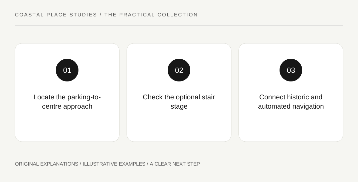
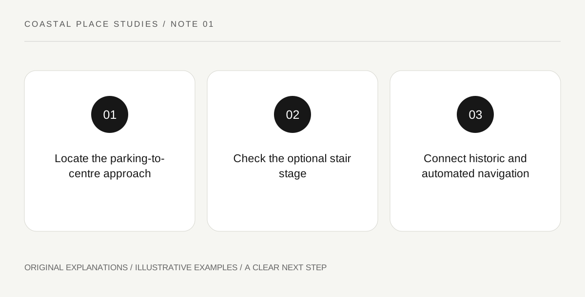
The Point Reyes Lighthouse visit involves a headland approach, a walk to the visitor centre and a further stair descent to the historic tower. NPS describes each stage separately. Understanding that sequence prevents a lighthouse photograph or an open parking area from becoming an assumption that every part of the visit is available.
Read the guide ↗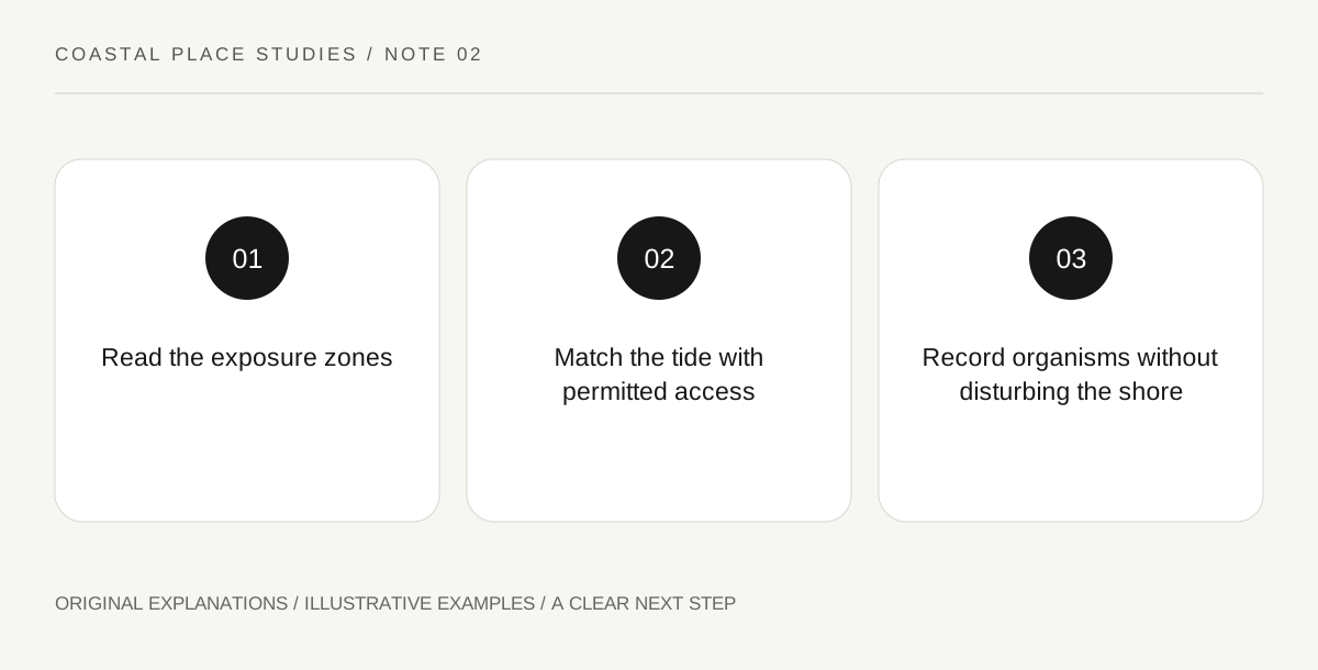
California coast3 min read
Cabrillo National Monument’s rocky shore contains high, middle and low intertidal zones. NPS explains how changing exposure shapes the organisms living there. The ecological pattern is a learning subject, while tidepool road access, opening hours and the day’s conditions are separate checks that determine the actual visitor opportunity.
Read the guide ↗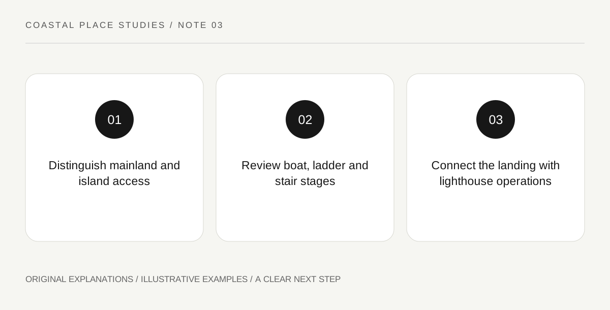
California coast3 min read
East Anacapa’s cliff setting makes its landing different from an ordinary beach arrival. NPS describes a boat-to-dock ladder and 157 stairs to the island top. Read that physical sequence before choosing the outing, then use the landing’s lighthouse-service history to understand why the access structures were built this way.
Read the guide ↗
California coast3 min read
The building known as Whalers Cabin at Point Lobos has a more complicated history than its name suggests. California’s Office of Historic Preservation describes archaeological evidence associated with Chinese residents and unresolved questions about occupation. Read the cabin as a case study in how objects, buildings and inherited labels can tell different parts of a coastal story.
Read the guide ↗
California coast3 min read
Fort Ross presents a coastal historic landscape through surviving material, reconstructed buildings and interpretation of several communities. California State Parks distinguishes the Rotchev House from reconstructed compound structures. Reading those categories carefully also creates room for the Kashia Pomo, Alaska Native and later ranch histories that a Russian-colony-only description can overlook.
Read the guide ↗
California coast3 min read
Ano Nuevo State Park distinguishes general park access from entry to its elephant-seal viewing area. The official page describes season-dependent guided walks, self-guided permits and a short annual closure. Check the actual date and route requirements rather than assuming a parking payment provides the same wildlife visit throughout the year.
Read the guide ↗
Pacific Northwest3 min read
Devils Punchbowl’s hollow rock formation is shaped by an energetic shore. Oregon Parks describes likely collapsed sea caves, churning water and neighbouring beach uses. A good visit studies the landform from an authorised position and treats erosion, current access and local parking as real conditions rather than forcing an interior photograph.
Read the guide ↗
Pacific Northwest3 min read
Cape Perpetua’s interpretation connects temperate rainforest with a rocky Pacific shore and a long human history. The Forest Service identifies Alsea connections and later Civilian Conservation Corps work. Read those layers together rather than reducing the scenic area to one dramatic water feature or assuming its entire trail network belongs in a single visit.
Read the guide ↗
Pacific Northwest3 min read
Fort Stevens State Park combines coastal recreation with military remains and the Peter Iredale shipwreck. Oregon State Parks maps these as different features within a large park. Choose the historical question first so a beach photograph does not become an assumption that the wreck, batteries and museum are all one compact attraction.
Read the guide ↗
Pacific Northwest3 min read
Dungeness National Wildlife Refuge shelters a bay, tideflats and other habitats behind a long sand spit. The Fish and Wildlife Service distinguishes a forest overlook from the much longer journey toward the lighthouse. Read the refuge map and purpose first so a distant landmark does not obscure protected areas or the value of a shorter observation.
Read the guide ↗
Pacific Northwest3 min read
Ebey’s Landing National Historical Reserve on Whidbey Island protects a living rural community, including agricultural and coastal landscapes. NPS explains that ownership is a patchwork and most land remains private. Read the reserve as a partnership rather than assuming its boundary makes every field, road or historic building public visitor space.
Read the guide ↗
Pacific Northwest3 min read
Fort Worden’s coastal-defence history includes concealed artillery works and a visible community of barracks and other buildings. Washington State Parks explains the contrast and the site’s later reuse. A focused visit asks why different structures look so different, while checking present-day access independently of their historical functions.
Read the guide ↗
Great Lakes3 min read
Glen Haven Historic Village at Sleeping Bear Dunes preserves several kinds of lakeshore work. NPS describes a former cordwood station that diversified into farming, canning and tourism, alongside interpretation of lifesaving. Choose a question about those changing functions rather than treating every historic building as the same maritime museum.
Read the guide ↗
Great Lakes3 min read
Indiana Dunes contains both a national park and a state park. NPS explicitly explains their separate ownership, fees and passes. Identify the actual area before choosing an entrance product so a familiar destination name or a federal pass does not become an assumption that every nearby parking or visitor facility is covered.
Read the guide ↗
Great Lakes3 min read
Pictured Rocks National Lakeshore is named for mineral staining on sandstone cliffs along Lake Superior. NPS explains how groundwater contributes colour and why views differ from land and water. Choose the geological question and viewing position together, while keeping boat operation, route demands and current access separate from the attraction’s name.
Read the guide ↗
Atlantic coast3 min read
Fire Island National Seashore is reached through several different destinations and transport approaches. NPS distinguishes the lighthouse area, the wilderness visitor centre and mid-island sites such as Sailors Haven. Pick the intended place first; a ferry to one community does not automatically deliver a visitor to every national-seashore attraction.
Read the guide ↗
Atlantic coast3 min read
Jamaica Bay Wildlife Refuge places wetlands and bird habitat within New York City’s wider coastal landscape. NPS distinguishes the West Pond route from the East Pond environment and identifies sensitive areas. Choose a habitat-study question and an authorised observation place rather than assuming both ponds offer identical routes or unrestricted shoreline access.
Read the guide ↗
Atlantic coast3 min read
Canaveral National Seashore has northern access at Apollo Beach and southern access at Playalinda. NPS directions place them through different surrounding towns, and the park’s compendium closes the connecting Sand Road to public motor and foot traffic. Choose the actual entrance before navigation rather than assuming one continuous visitor drive through the seashore.
Read the guide ↗
Gulf coast3 min read
Gulf Islands National Seashore includes wooded mainland and barrier-island places as well as historic defences. NPS distinguishes Naval Live Oaks from the Fort Pickens area. Choose the setting and subject first, then verify the specific facilities, because a headquarters address and a visitor-service destination do not necessarily serve the same purpose.
Read the guide ↗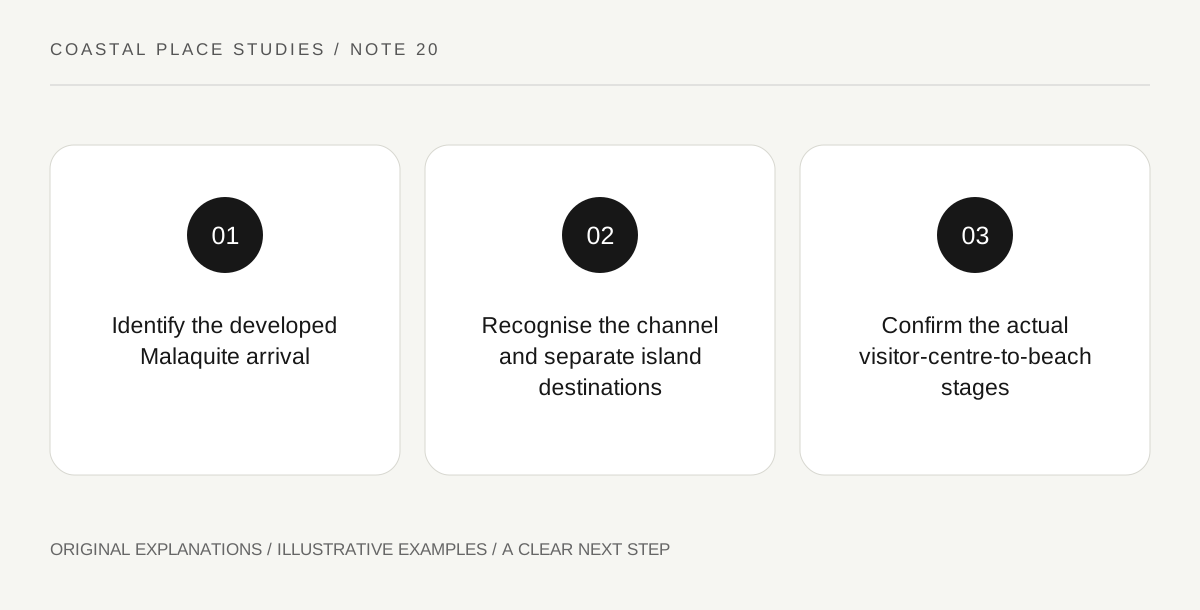
Gulf coast3 min read
Padre Island National Seashore’s Malaquite Visitor Center is approached from the Corpus Christi side. NPS also explains that Mansfield Channel separates Padre Island from South Padre Island with no vehicle crossing. Resolve that geography before planning a visit so two familiar island names do not produce an impossible direct connection.
Read the guide ↗